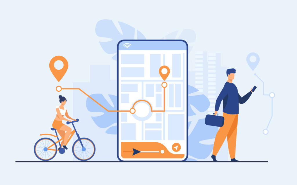
Google Maps was introduced with a simple concept back in the day. It was meant to eliminate the need to carry physical maps to navigate around. Additionally, by entering your source and destination it would find a route for you. However, Google Maps has grown over time to become a far larger platform. Today, it can give you traffic conditions, the air quality index, and even the precise cost to get to your destination, so it’s not just about finding a route from point A to point B. We’ll look at some of its distinctive features that can make using Google Maps more efficient.
Spot codes
- At its core, google map is a platform to share your location and navigate. Spot codes are a feature to share a location with utmost precision. This is essential when you are in a big area. Let’s understand with an example.
- Imagine you are at a stadium, race course, or a big park. If you share the park location then google maps either direct you to the entry point of the park or in the case of multiple entry points it will navigate you towards the center of the park. This means it will be hard for your friends or family member to reach you in a big arena. During such times spot codes come in handy. Spot codes give a very precise location.
- All you need to do is long hold the exact point on google maps that you want to share, a list of options will open up along with the spot code. Just share the code with your friends and family and they will be able to navigate precisely. They are like the exact coordinates of a place and hence precise.
Become a local guide on google maps
- If you think you know your locality well, then you can become a local guide on Google Maps. Select the shops or parks you have visited and give your opinions or reviews. You can share any helpful information such as entry fees of a park or its timings. Add photos of a place and answers question from people online. Add places that are not there on Google Maps. Each of these activities will give you reward points and once you cross a certain number you will get an official badge on your Google account on the google map of a local guide.
Indoor maps
- Big arenas such as major public transport hubs, airports, and malls can be hard to navigate around. Usually, these places do have an information center and physical maps but you don’t need to reply to them anymore. Google Maps is not just about the roads. Now google maps also provide indoor maps. Imagine that you are, for instance, at a mall with several levels that are all quite long. Using maps you can select the floor you are on and it will give you the layout of that floor with the name of the shops present. This way you no longer need to rely on physical maps at the information center.
Street view
- This one tool can make you travel the world virtually. As the name suggests it shows you the exact 360-degree view you will get to see when you will be on that street. To obtain this multiple cameras are rigged to a car. This car travels through each street and captures high-resolution images. Hence using street view you can exactly see a location while seating at home. This can come in handy to get an idea of a locality before visiting it. Again the street view is not limited to streets. From parks to inside of an art gallery, you can view any of that in a 360-degree view that has been authorized and mapped by Google.
Additional information
- Along with the common features of google maps such as live traffic and satellite view, it also provides information on Wildfires and the air quality index of a location. This feature can be found in the layers section. It gives real-time data on the wilf fires and air quality index of a place.
Public transport
- Navigating around a metropolitan city can be confusing if you are unfamiliar. Definitely, By entering your source and destination, you can get information on which bus or train to get on. But it’s very specific, if you want to get an idea of overall public transportation and see the connectivity then google maps allows you to exactly do that.
- Under the layers section, there is a dedicated public transport option. Turning it on will hide the live traffic and highlight every metro line, station, national train station, bus stop, electric cycle stand, and more. Selecting a particular bus stop for example will give you details of all the buses arriving at that stop. Not only that on choosing a specific bus number it will highlight that particular route on the map. This is an extremely helpful feature to find your nearest commute.
Conclusion
Over the decades google maps have evolved with significant new features. The ones mentioned above are just a few to name. Navigating has never been simpler than it is now. Click here to check out all the features of Google Maps.